ORLANDO, Fla. – A gradual warming pattern has begun across Central Florida ahead of a strong upper-level low tracking toward the Sunshine State.
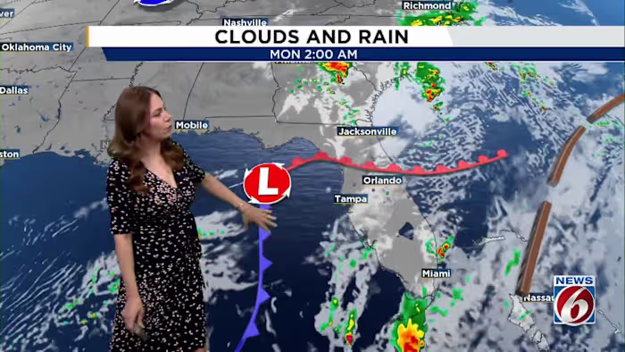
This system will help form a weak low-pressure area just off the Southeast coast, dragging a cooler front through our region later Sunday into Monday.
Sunday-Monday
Sunday expect high pressure to remain in control, keeping winds light from the north to northeast at around 5–10 mph. Most areas will stay dry, though a few brief showers could pop up late this afternoon.
As the upper low gets closer late Sunday and into Monday, moisture levels will increase slightly, giving us a better shot at some isolated to scattered showers. Still, rain chances stay on the low side at about 20–30%.
Temperatures today will feel seasonable, with highs in the upper 70s to low 80s.
Cooler air arrives behind the front Monday, bringing highs down into the low to mid-70s north
Overnight lows will drop into the mid-50s to low 60s Sunday night and fall into the 50s across most areas Monday night.
Tuesday-Saturday
Looking ahead to Tuesday through Saturday, forecast models still differ slightly on how the upper-level pattern evolves.
Both major models agree that high pressure will build over the Southeast by Tuesday, keeping things mostly dry for much of the week.
Winds will stay out of the north to northeast at 10–15 mph Tuesday, then ease up and turn more onshore mid- to late week.
A few brief, light coastal showers could move onshore later in the week, but widespread rain isn’t expected.
Temperatures will gradually warm through the week in the mid to upper 70s Tuesday and back into the 80s through the weekend.
Copyright 2025 by WKMG ClickOrlando – All rights reserved.