
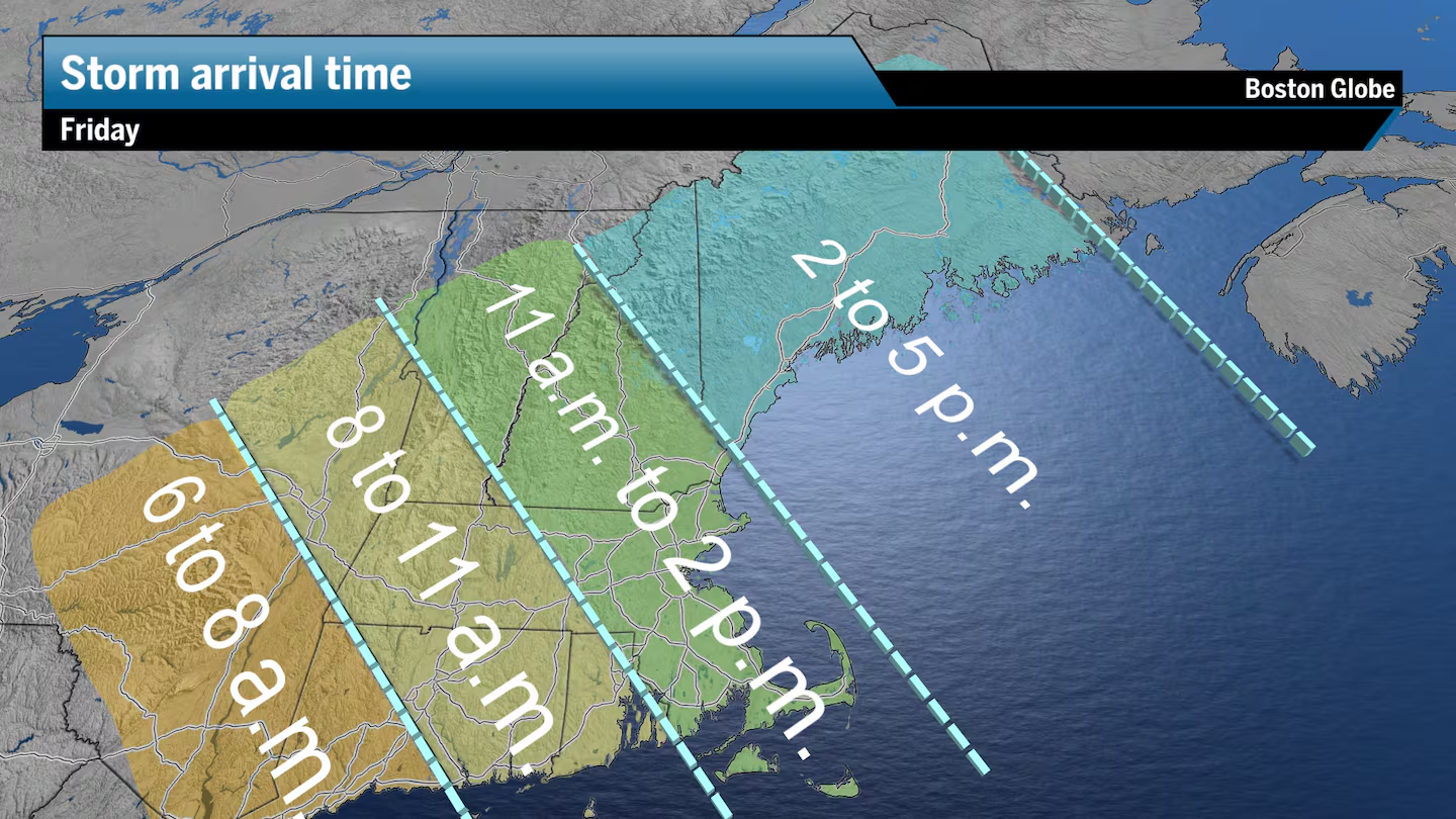
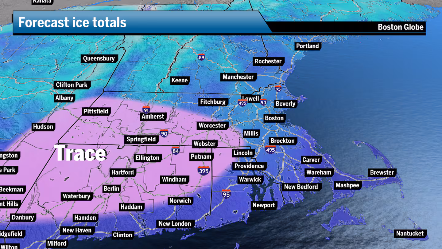
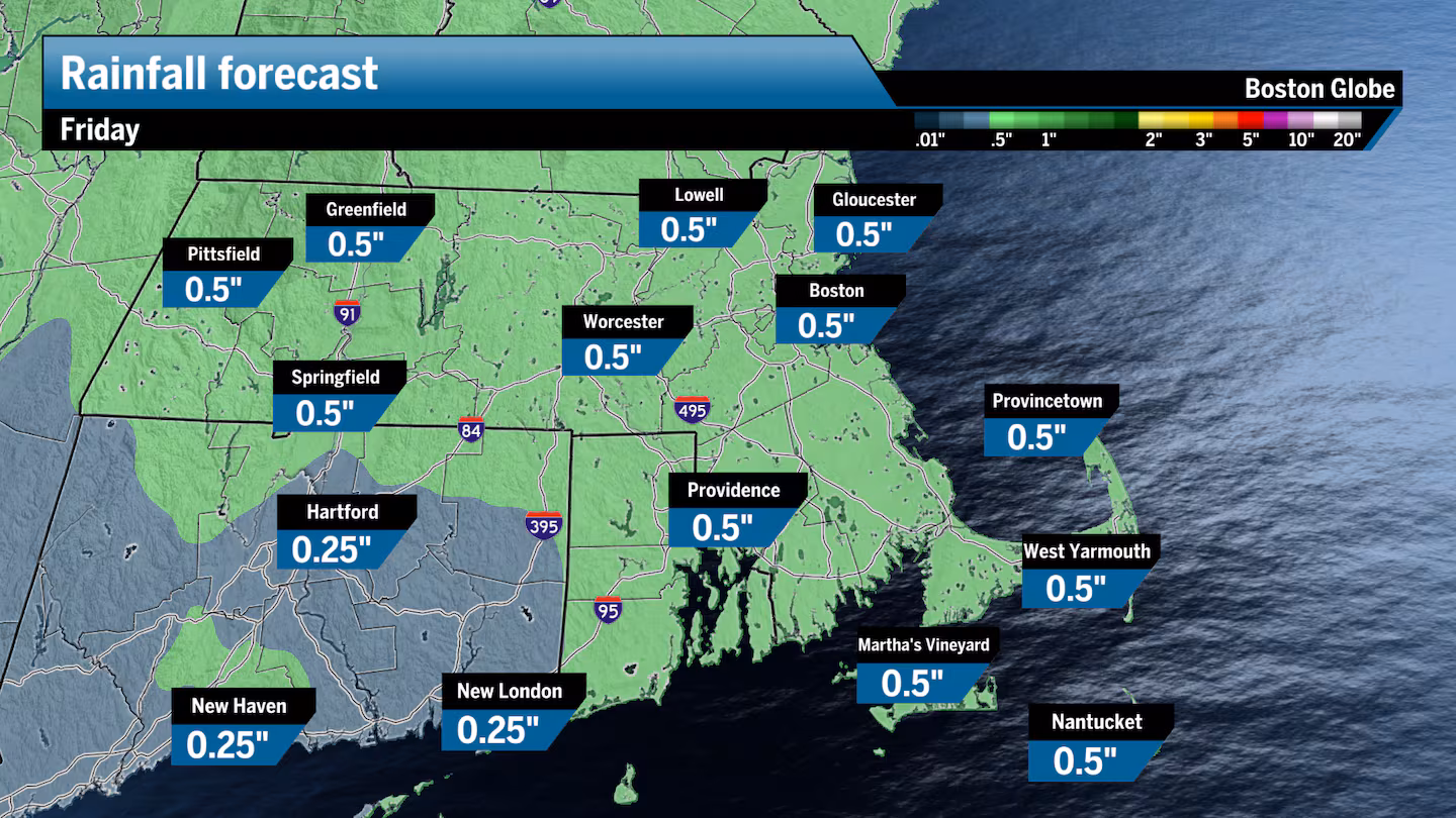
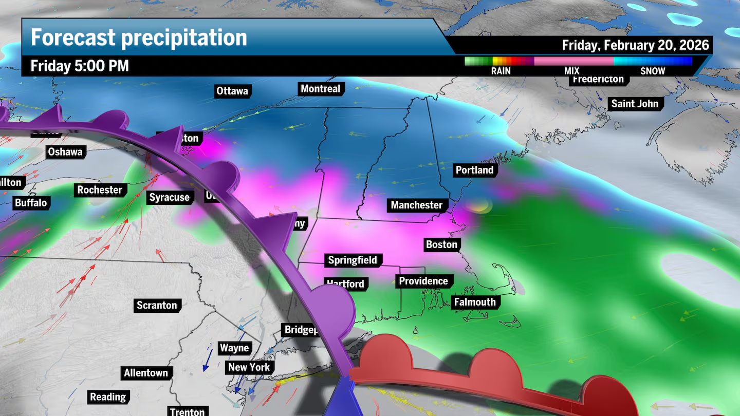
New England’s active weather pattern resumes, with the arrival of our next winter storm Friday afternoon bringing cold and freezing rain, sleet, a wintry mix, and eventually plain snow to parts of New England. The precipitation will intensify during the afternoon and evening, making for iffy road conditions, before slowly tapering off overnight.
This round of wintry weather has a similar setup to Wednesday, but with much more juice in the atmosphere to produce the lift we need for widespread precipitation. There will be an initial warm front stretching east across the region ahead of the storm’s core. Also, there’s a very good chance for a secondary low to form over the ocean that should boost precipitation at times.
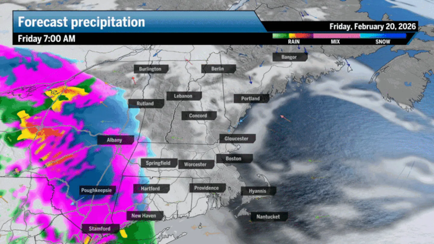
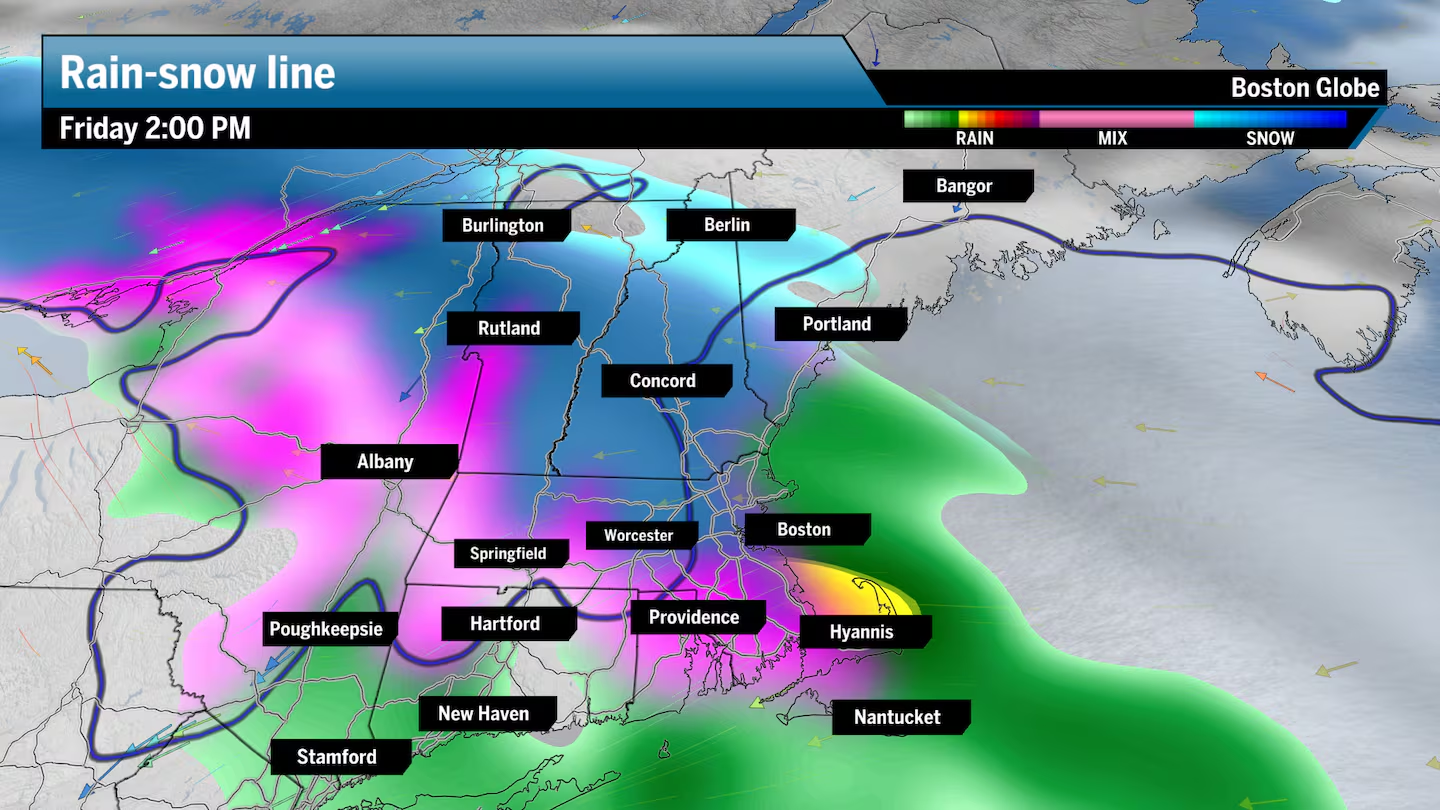
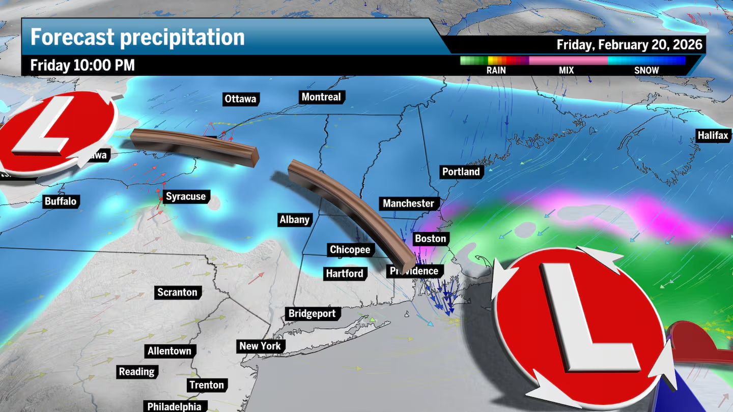
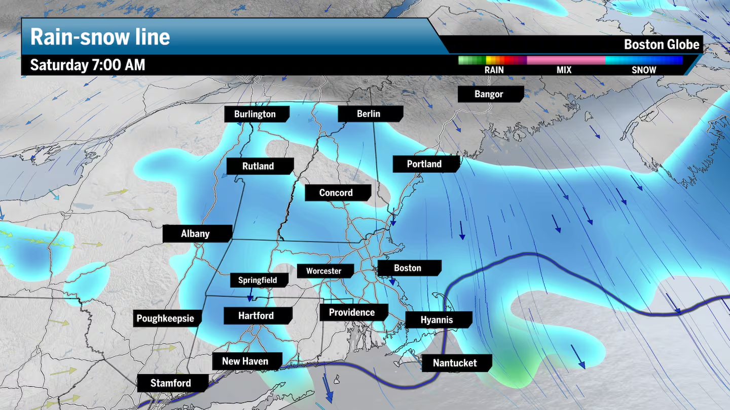
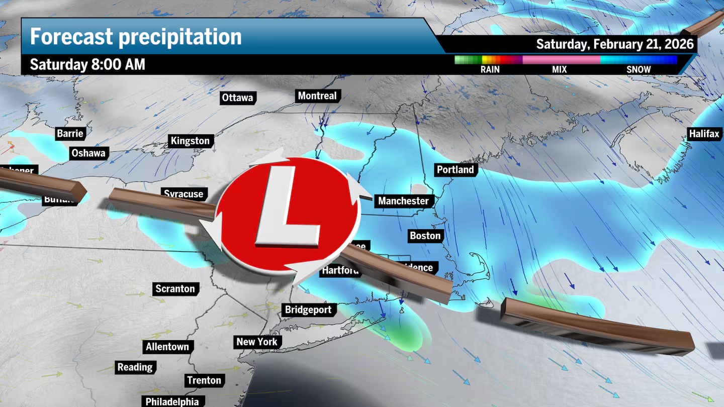
For Southern New England, we can expect to begin with a wintry mix and cold rain, especially by the coast, including Boston, and south of the Mass Pike. Then the rain-snow line will gradually shift southward Friday evening and into the night, and that’s when snow accumulation is possible. I have Boston totaling between 1 and 3 inches of snow by noon, Saturday, and north of Boston higher.
Folks across Northern New England can expect snow from the start of this storm, with totals likely reaching 3 to 6 inches, with a scattering of 6- to 8-inch totals in parts of New Hampshire, Vermont, and Western Maine.
These maps detail Friday’s possible storm impacts on New England:
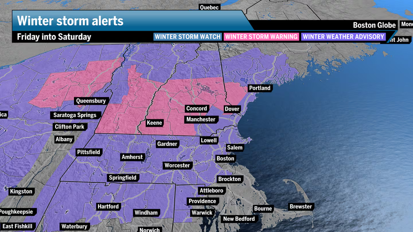
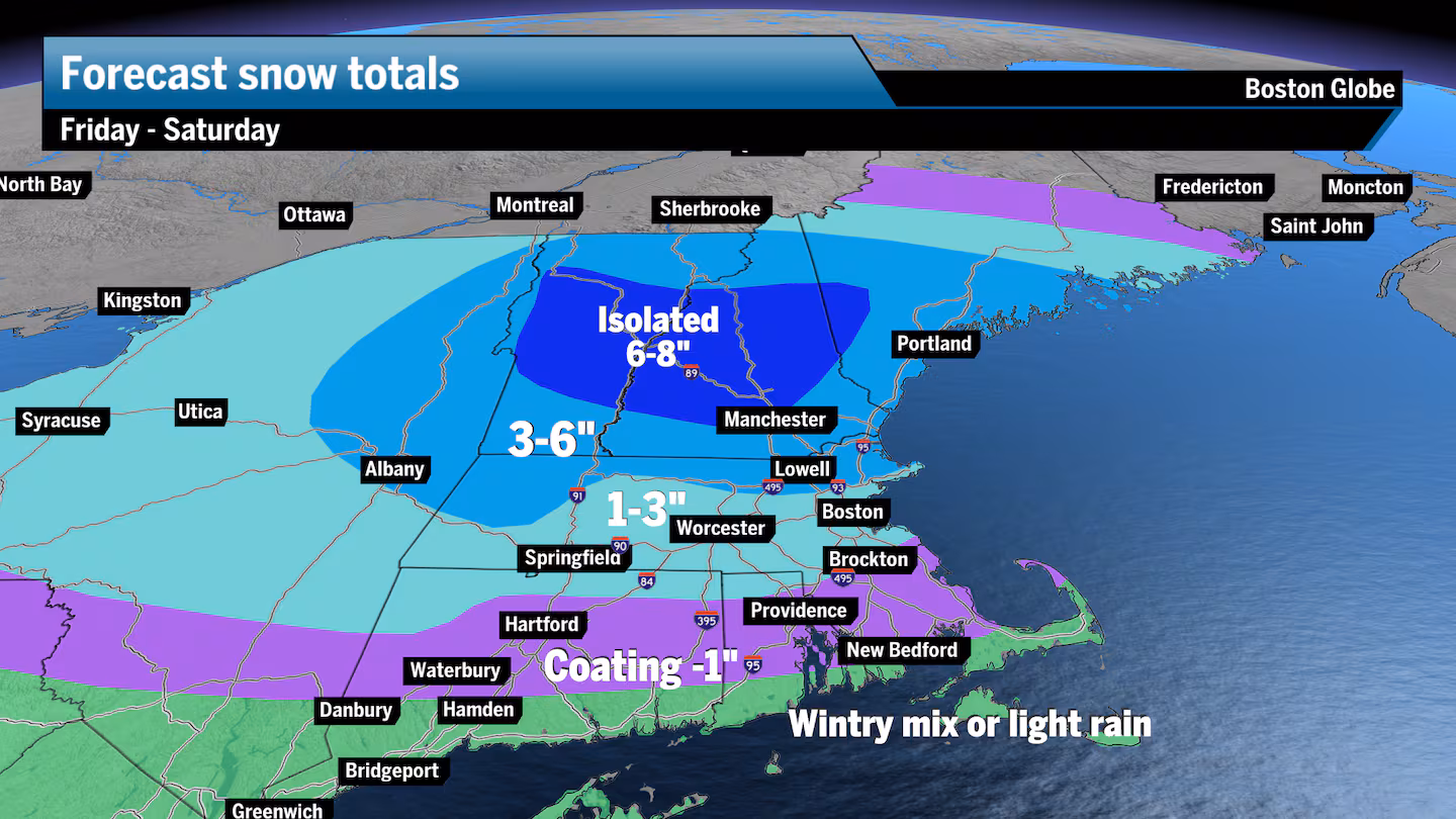
• 6 to 8 inches: Central Vermont and New Hampshire, including Concord and Plymouth; Rutland, Vt., and Western Maine.
• 3 to 6 inches: North of Route 2 and north of Boston (north of I-495 and even I-95); northern half of the Berkshires may also end up in this zone, including Greenfield and North Adams; Portland, Manchester, Keene, and Bennington, Vt.; and Augusta, Maine area.
• 1 to 3 inches: Greater Boston, the South Shore to about Scituate, Worcester, Springfield; northern Rhode Island and Connecticut; Bangor, Maine area.
• Coating to 1 inch: South Shore, Providence, Hartford, Outer Cape.
• Rain or wintry mix: Entire southern coast of New England, including most of the Cape and the islands.
Sign up here for our daily Globe Weather Forecast that will arrive straight into your inbox bright and early each weekday morning.
Ken Mahan can be reached at [email protected]. Follow him on Instagram @kenmahantheweatherman.